This site uses cookies – More Information.
Key Highway Corridor Plan
Key Highway Beautification Program
A master plan enhances a vital gateway to Baltimore.
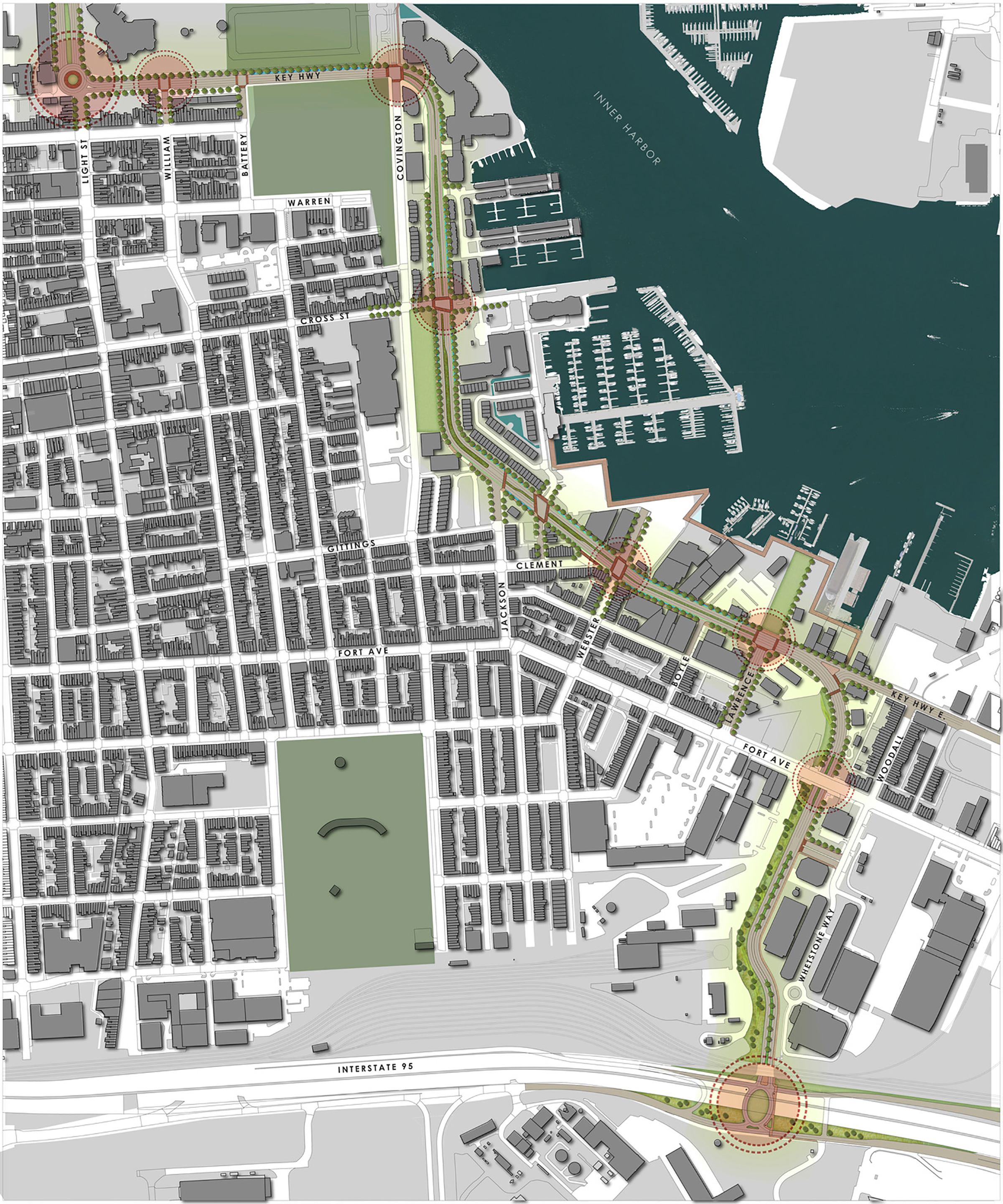
This master planning study suggests ways of enhancing a major gateway and a critical connection among local industries, the Port of Baltimore, residential neighborhoods, and downtown Baltimore. The planning process was structured around community engagement and resulted in recommendations for a more cohesive, attractive, pedestrian-friendly and high-performing vehicular corridor that welcomes visitors and residents to the city. The roadway is reconfigured with narrowed travel lanes, marked pedestrian crossings, and designated bike lanes. These adjustments, coupled with major streetscape improvements, consistent lighting standards, and a regional banner program, transform the corridor’s aesthetic and improve overall safety.

he Key Highway Corridor Plan connects several regional destinations.

The Key Highway Corridor Plan reconfigures roadways with narrowed travel lanes, marked pedestrian crossings, and designated bike lanes.

Next Project
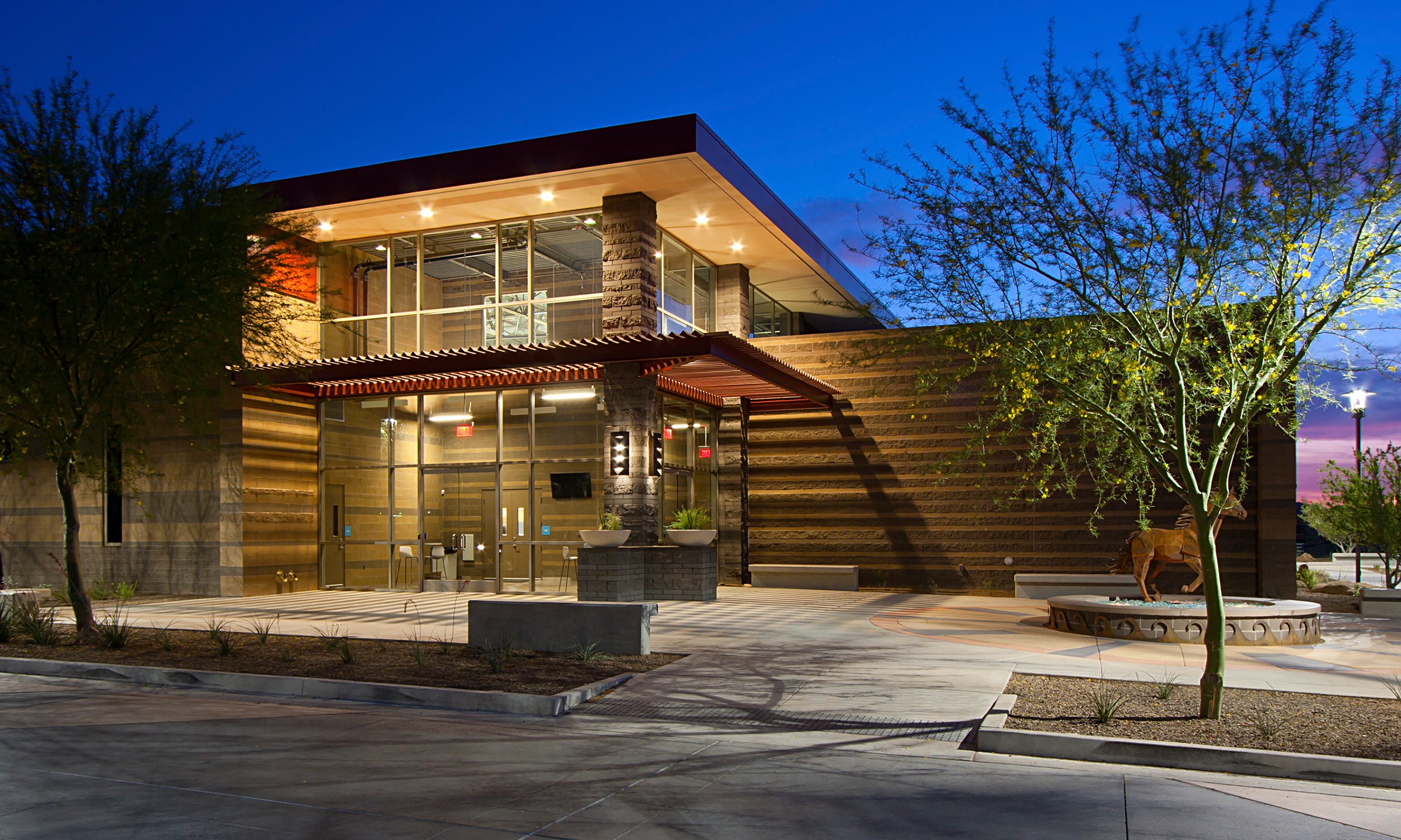
Student Activity Center
Meritas Family of Schools